July 29, 2013
-
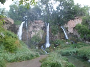
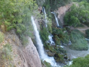
Rifle Falls and Caves
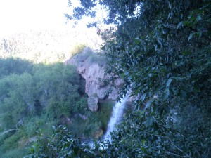
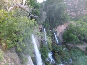
The northwest of Colorado is somewhat drier than the Rocky Mountain core. Even so, the rivers run at a credible clip, and the occasional waterfalls are well worth an hour or two. Rifle Falls has three such waterfalls and a series of limestone caves occupies the area underneath the falls. I spent ninety minutes on the morning of July 17, casually walking the trail to the top of Rifle Falls and exploring the caves along the bottom of the trail.
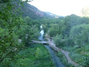
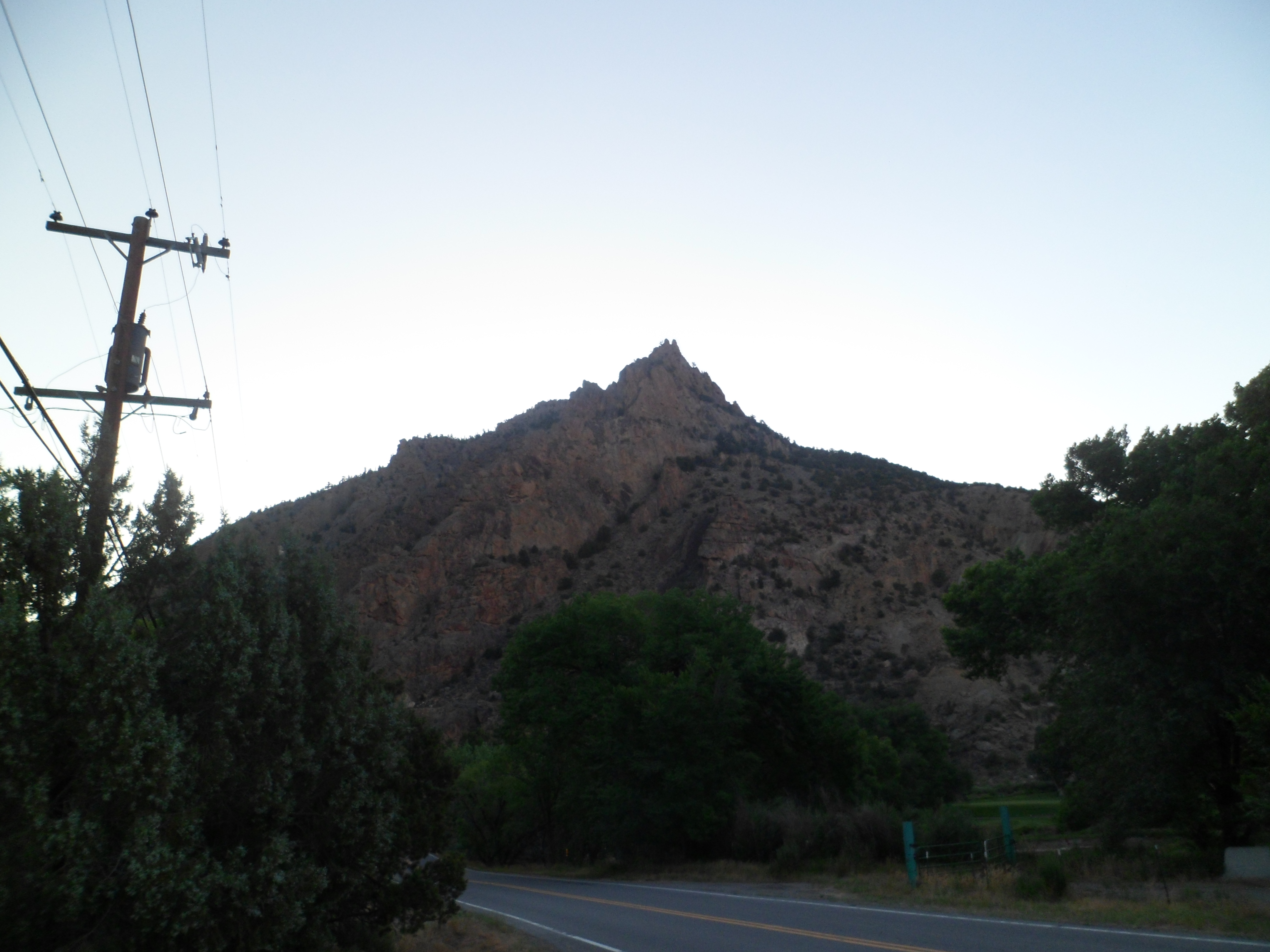
I begin with scenes of the plateau leading into the Rifle Gap.
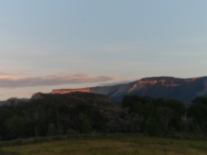
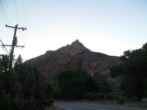
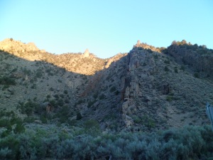
The falls and caves lie just east of Rifle Gap State Park.
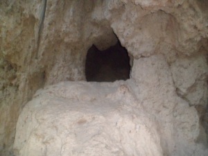
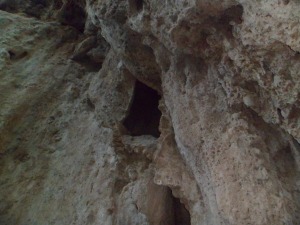
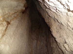
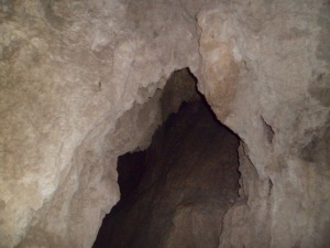
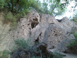
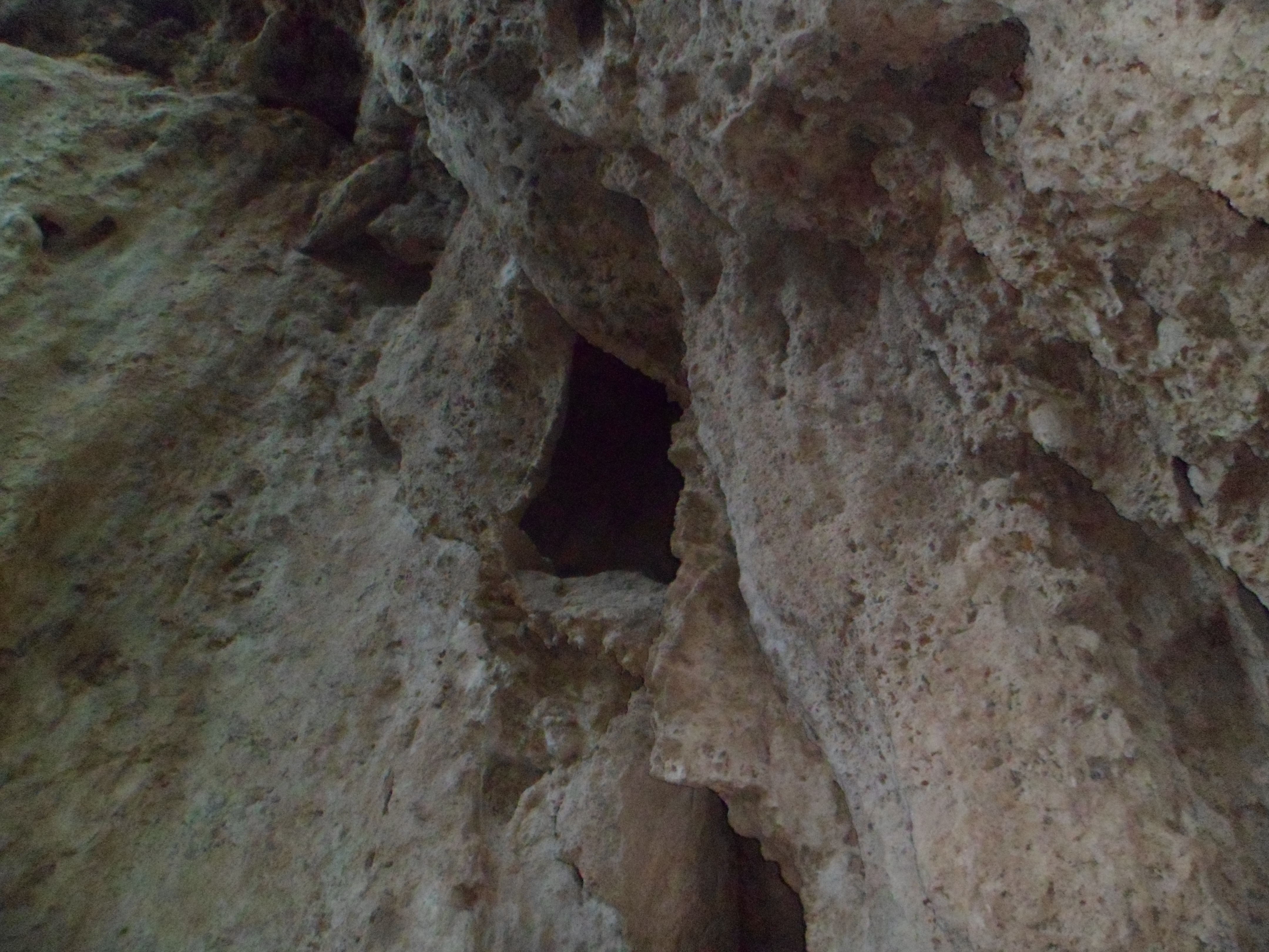
Here are more scenes of the caves, which are quite delicate, an dwould not make safe hiding places- though that would be tempting, in a pinch.
I climbed up to the top of the falls, along Coyote Trail, and learned that a private entrepreneur had built a hydropower plant, of sorts, and a tourist attraction, in the 1890′s.
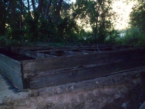
Above is a remnant of the hydropower facility.
Rifle Falls set the tone for a rather happy day, that Wednesday.
Next: The Road to Cokeville


Comments (7)
Wow, Gary -- I didn't realize there was so much at Rifle -- and especially an 1890's hydro-electric plant, even if primitive! Interesting -- and beautiful!
@slmret - I was pleasantly surprised, as well. Once Xanga says farewell, sans miracle ending, I will still be at least on WordPress. I don't know, right now, how much longer I will be on Facebook, though.
I kinda like your facebook. I know I haven't been on much, but I've been really, really sick.
Thank you for another wonderful hike, Gary.
If this trail should end, I will continue the journey here.
@WildWomanOfTheWest - I always like to see you and Bob on Facebook. My WordPress is http://www.peacefulwarrior9.com
@hesacontradiction - I hope you get better soon. I'm glad you come on to my FB page.
@RighteousBruin - Got it, thank you!
Comments are closed.