October 25, 2015
-
The Road to 65, Mile 330: The Prescott Circle Trail, Segment 8
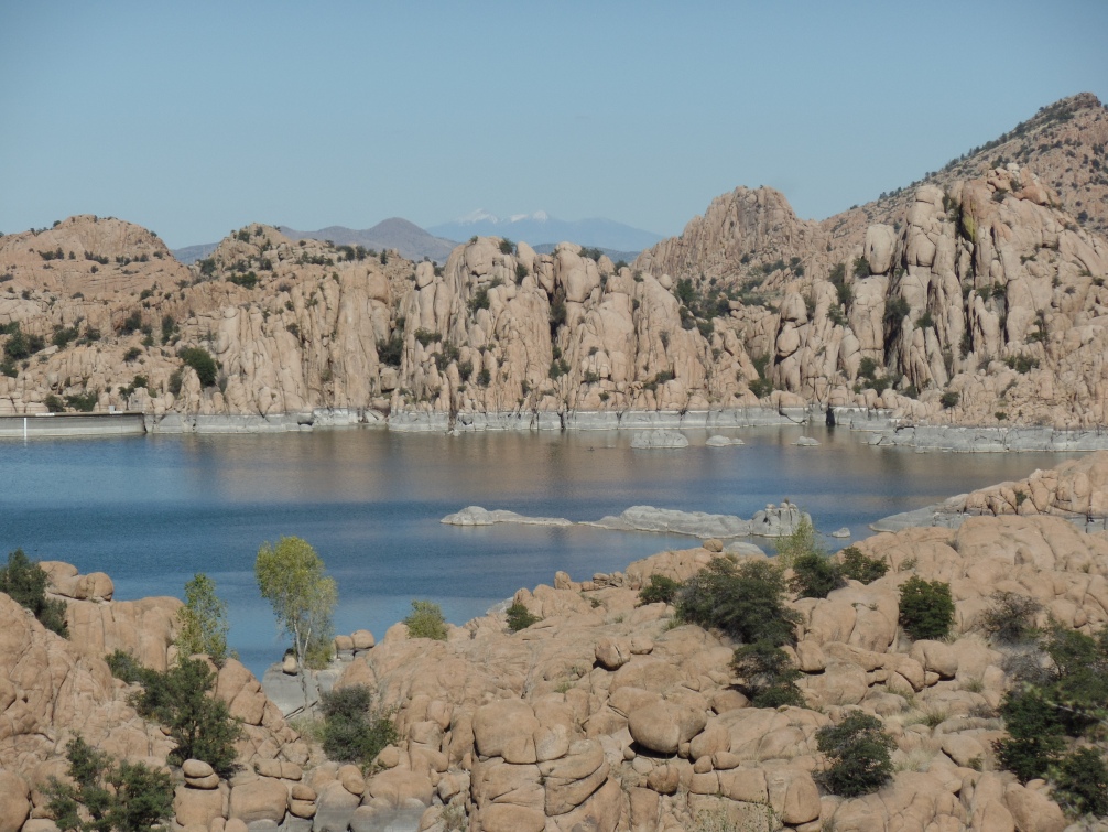
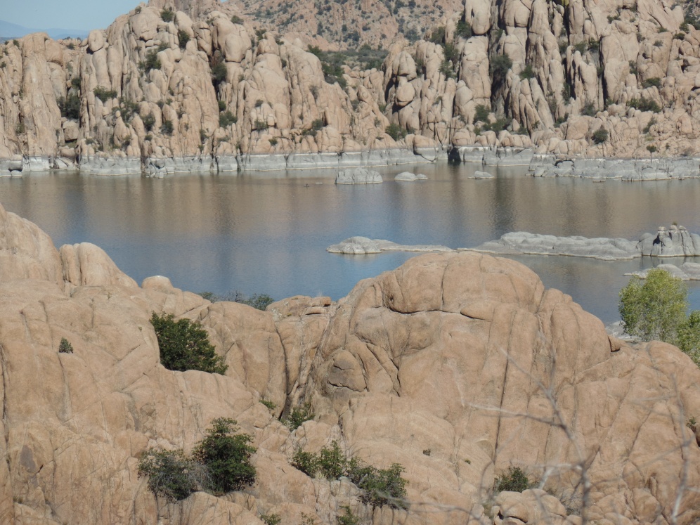
October 24, 2015, Prescott- I spent a few hours walking the shortest segment of PC, from Willow Lake to Peavine Trail Head, alongside the north and west shores of Watson Lake. This older and smaller of the twin reservoirs is bounded by Granite Dells, to the north, Glassford Hill, to the east, and Granite Creek, to the south and west.
The first part of the segment follows Willow Lake Road, away from Willow Dells, to Highway 89, which I crossed, just north of a roundabout, when the near constant flow of traffic was abated, courtesy of traffic signals, some distance away, in either direction. Highway 89 is a four-laner, and has crosswalks, so no overpass is needed.
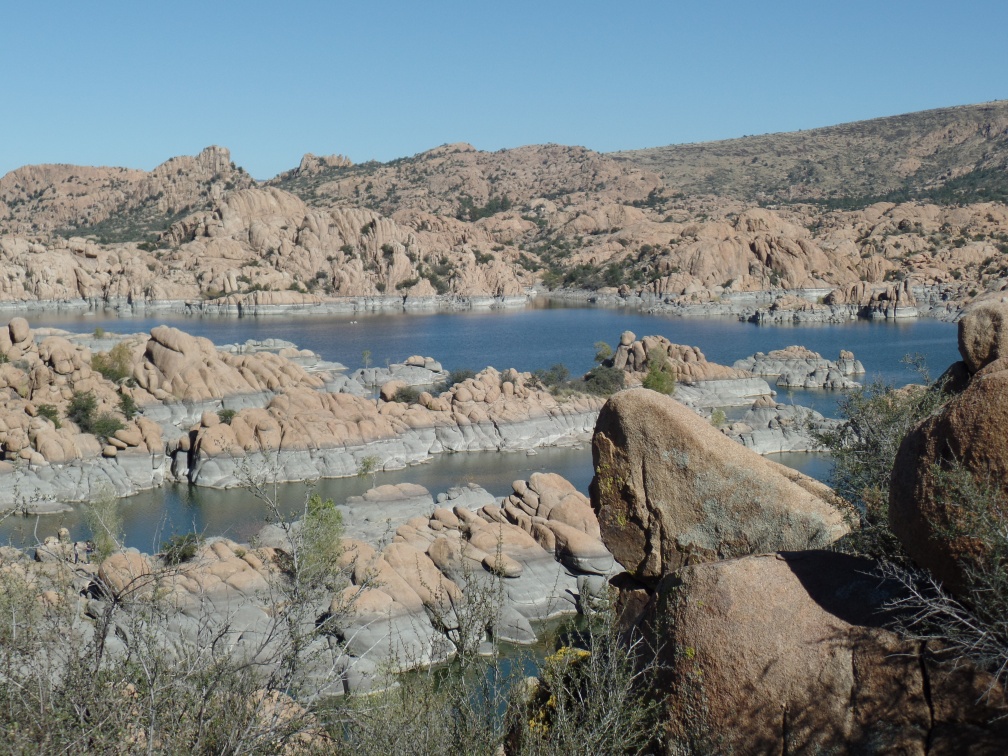
I then came to Watson Lake Park, one of my favourites here. The Dells make it an especially otherworldly place.
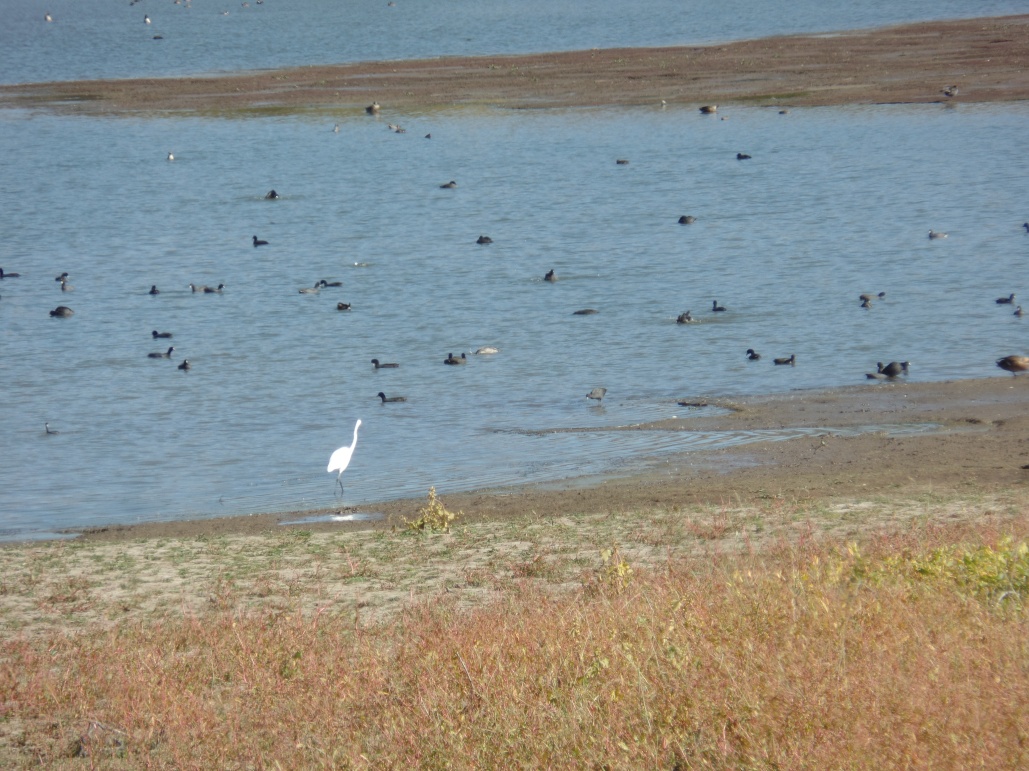
The trail took me away from the Dells, for a bit, along the west shore, where waterfowl were abundant. Two Greater Sandhill Cranes were among the crowd.
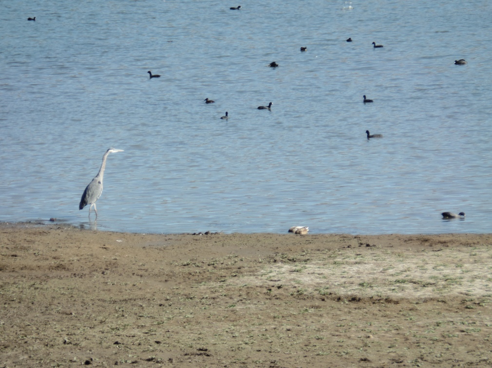
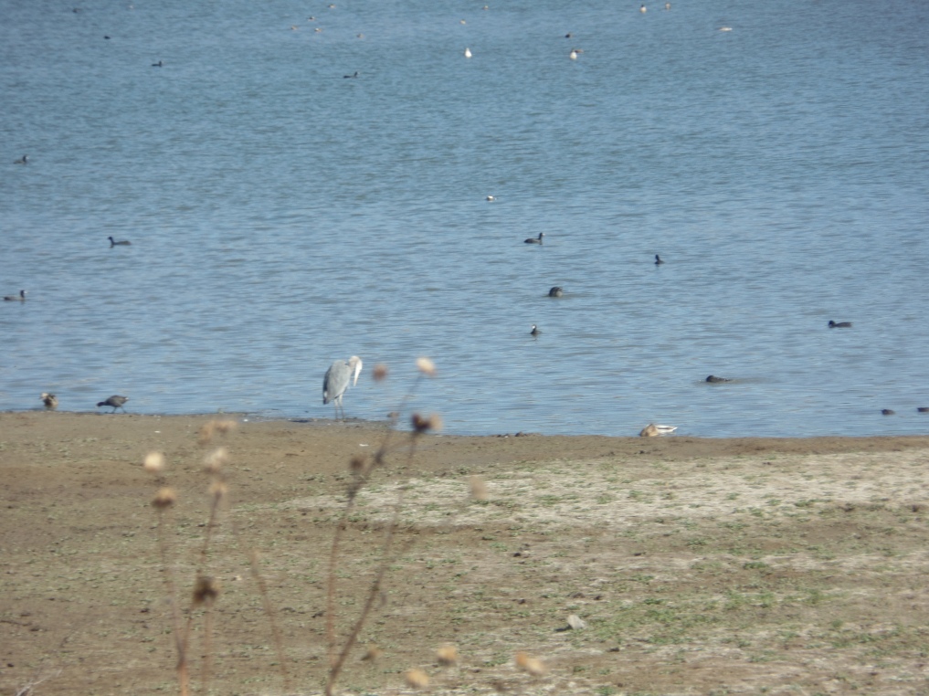
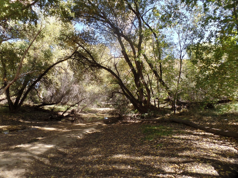
As you can see above, at first, the female was being rather coy.The riparian trail then went off into the marshy terrain near Granite Creek, which is rather paltry at present.
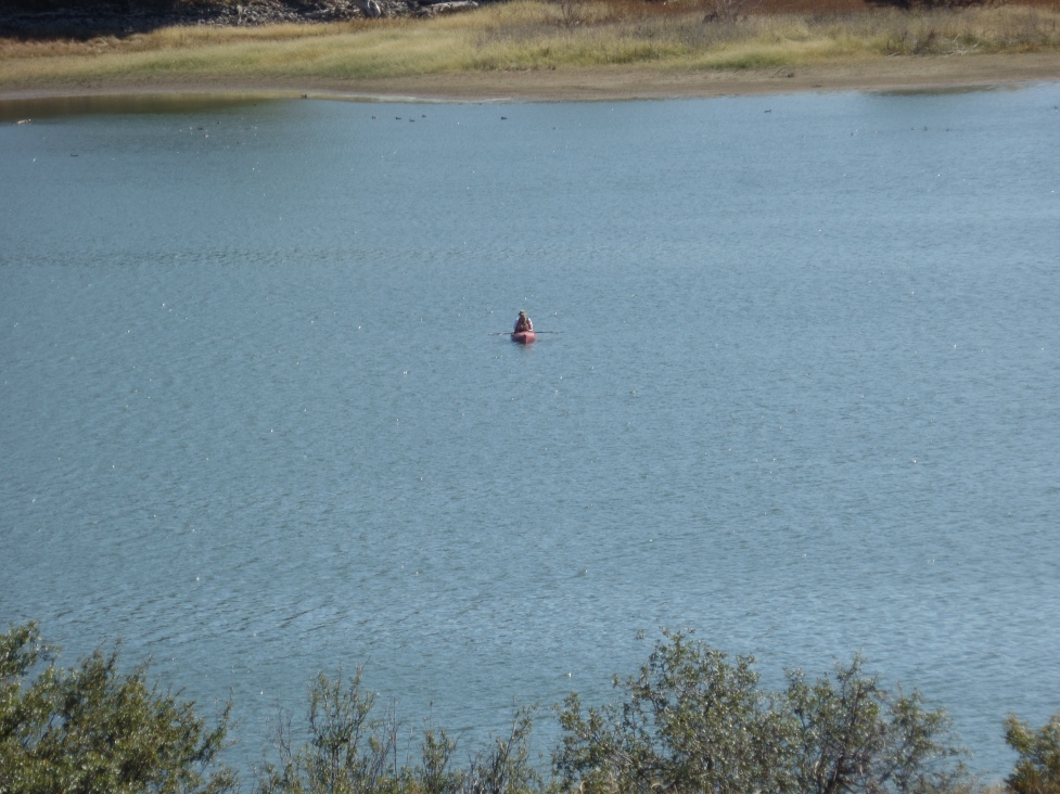
Upon coming to the rather mundane Peavine Trail Head, I resolved to return there and resume my hike, with segment 7. Ambling back to Watson Lake, I spotted a lone kayaker.
The surreality of the Dells never gets old, so here we are again.
Next up: The Peavine Trail Head to Highway 69. (First half of Segment 7).


Comments (8)
The dells are very intriguing. There isn't anything like that in Indiana!!I do like the stratification of the rock - looks like the kind of place a geologist would enjoy!
Geologists marvel at this area. So do botanists and herbalists, when visiting the deeper sections of the Dells.
Honestly, I didn't know exactly what a dell was.
Despite there being water, my first thought was that it sure was dry there. They have interesting formations though, I can almost make out people around the lake, made of mud and rock. It is evidenced by the different colored stata that the water level has gone down.
(strata)
@Crystalinne: A dell is a rock formation, springing up from a lake, or a creek bed. Over time, the Willow and Granite Dells sprung up, from their eponymous creeks.
@RighteousBruin: Ah; When I did a search for the definition of the word before (using Bing) it said a dell was "a small valley, usually among trees."
Dell is a variation of the English dale, which in Yorkshire means a river valley, carved by glaciation.
We've been there. Hope to be there again sometime.
Comments are closed.